Welcome to Summit Precision Aerial
Welcome to
Summit Precision Aerial
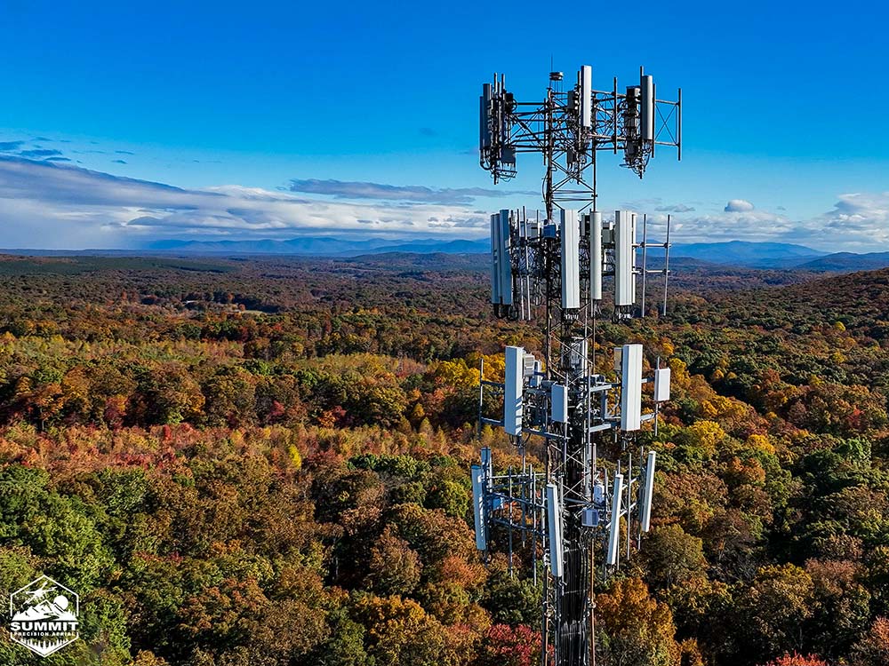
We are proud to offer a range of UAS services provided by FAA Part 107 Certified Pilots. Our diverse team will work with you to meet your specific needs and ensure quality and timely deliverables so your project stays on track.
We have the equipment, technology, software, training, and experience to ensure the best possible product to meet your specific needs.

Construction Industry
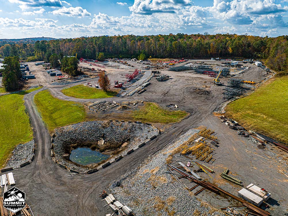
We offer an array of solutions for our clients to decrease project times and reduce overall costs. Our services give a clear understanding of the job progress, ensure accurate timelines, and provide defensible project completion documentation.
Land developers, builders, financial investors, and architectural engineering firms can all benefit from adding UAS or Aerial Drone capabilities to their available assets.
We have the equipment, technology, software, and experience to ensure the best possible product to meet your specific needs. Our capabilities include:
- High Resolution Progression Photography and Videography
- 2D and 3D Photogrammetry Mapping
- LiDAR Mapping
- Thermal Imaging
- Volumetric Analysis

Search & Rescue
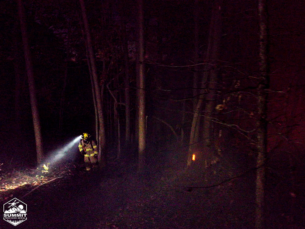
Our team can offer a bird’s eye perspective with high resolution imagery and thermal imaging capability to enhance your tools in the field. UAVs can provide real time critical information directly to incident command so you can make the most informed decisions to keep your team and the general public safe. Aerial Drones offer constant overwatch for better coordination of assets and intelligent response for the fastest containment of various emergency situations.
Our experience and equipment can aid in the following areas of operation:
- Fire (Grassland, Structure, and Woodland)
- HAZMAT
- Missing Person
- Pre/Post Disaster Imaging & Mapping
- Mission Overwatch

